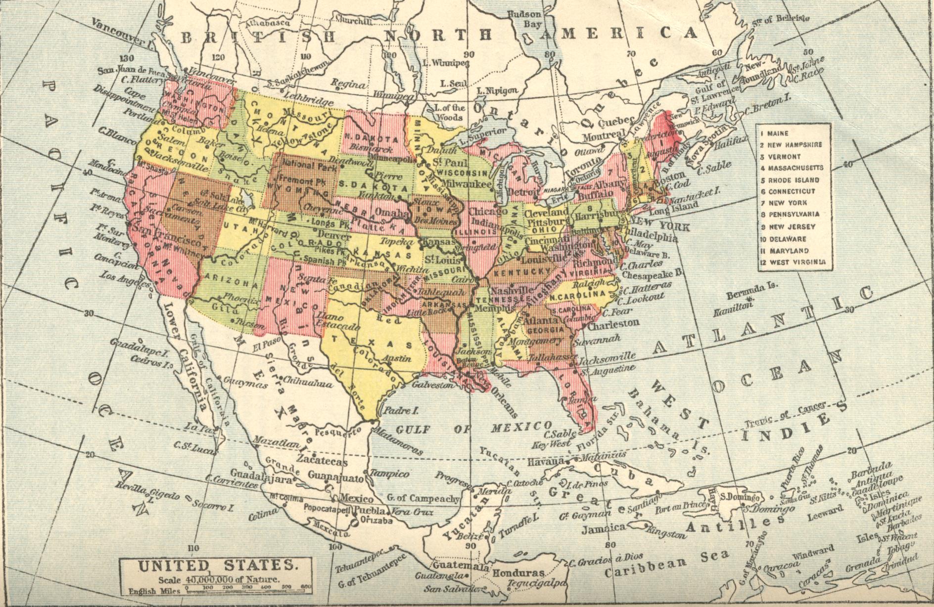
Map of the United States of America - also showing much of Canada, central America and the West Indian Islands
This map has been scanned from Gill's Geography. The first edition was in 1864 and this edition was 1928. The preface says the edition has been revised and reset "wherever possible"."Indian Territory" is shown east of Oklahoma, which suggests this map had not been revised since 1906.