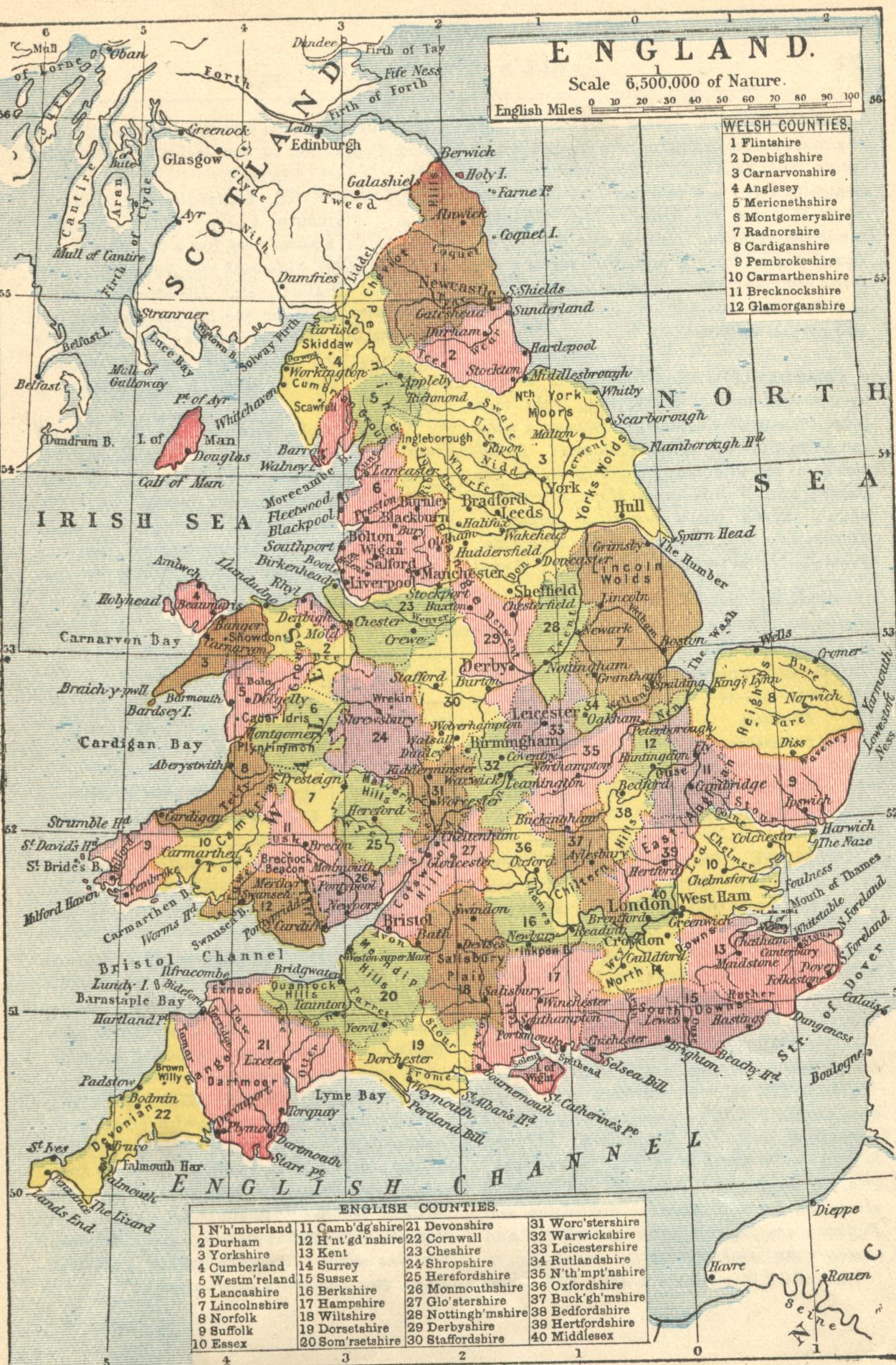
This map has been scanned from Gill's Geography. The first edition
was in 1864 and this edition was 1928. The preface says the edition has
been revised and reset "wherever possible". It should be useful to users of
the Index of English and Welsh
Lunatic Asylums and Mental Hospitals, and anyone else who needs
a map of England and Wales before it became necessary to alter
administrative areas every decade or so.